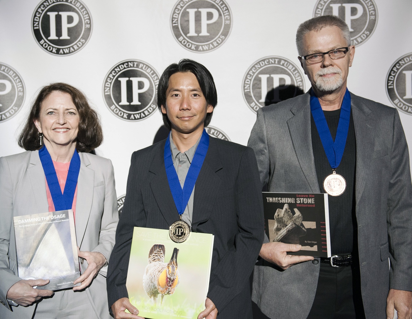
Save the Last Dance: The Story of North American Grassland Grouse
Photographs by Noppadol Paothong
Written by Joel M. Vance
There are no wild buffalo grazing the tall grass prairie region of the Osage River watershed. There are, however, relic populations of prairie chickens - quite a few in the Flint Hills where the Osage begins, fewer in western Missouri. A new book, Save the Last Dance: The Story of North American Grassland Grouse, depicts half a dozen varieties of grassland grouse and the heroic efforts made by government agencies and private organizations to preserve this intriguing species.
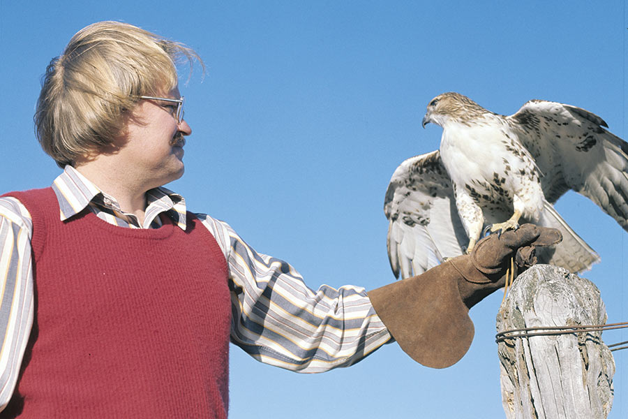
As I looked through Save the Last Dance, a substantial all color book photographed by Noppadol Paothong and written by Joel Vance, I flashed back to my own stab at taking pictures of prairie chickens. Several decades back my girlfriend (and now wife Crystal) and I sat in a blind on a small western Missouri prairie judiciously (for obvious reasons) drinking coffee and waiting for the sun to rise. Right at daylight we were serenaded by the haunting love songs of the male grassland grouse. It was poetic but unproductive. Even with the telephoto lens, a Hasselblad was a poor choice to photograph distant birds. The tape recordings and 16mm film footage were better.
Jim Brandenburg, a National Geographic stringer and photographer of ten volumes to hard-to-shoot wildlife like wolves, was also humbled by Paothong’s work. Said the famous nature photographer: “Indeed, it is refreshing these days to see a book that I may have attempted but then concluded I could not have done it as well.”
To be sure professional digital cameras and $13,000 telephoto lenses help, but Paothong displays a grasp of both his subject and their environment. A monograph like this can – well, become monotonous no matter how good each image is. But that is not the case with Save the Last Dance. There are half a dozen varieties of these prairie dwelling birds and all perform an operatic mating ballet in the spring. The photographer didn’t just choose a book full of his best single shots. The sequences display an extraordinary variety of compositions and a high art awareness of space.
Joel Vance is such a fluid writer that he can dash off a readable story about buying minnows on the way to the lake. But when something really interests him he will commit to diligent research. He has not only absorbed a mountain of historical and scientific literature, he has traveled to many locations to capture the ambiance and interview the experts.
Joel and Nappadol have both decorated many pages of the Missouri Conservationist magazine – Vance, some years back, Paothong today. As competent as their work is in that well thought of Department of Conservation publication, it is of necessity edited and cropped for obvious reasons. Save the Last Dance gives these two professionals adequate room to display their capabilities.
Though some of these varieties of grassland grouse are threatened by development, the book recognizes the heroic efforts that are being made government and private conservation organizations. Not only will the scientific and nature communities enjoy and learn much from this volume, photographers will benefit. Paothong has gone into detail about how he acquired these stellar images. However, I’m not sure how many shutterbugs, even if they had the equipment and the tips, have the dedication to spend 11 years, as Paothong did, to travel all over the United States to accomplish this extraordinary work.
The book is available through its Web site: http://www.savethelastdancebook.com/ as well as amazon. If you order through the Web site, a portion of your order will be donated to the organization of your choice. The six possible recipient organizations are Missouri Prairie Foundation; Friends of Attwater Prairie Chicken National Wildlife Refuge; Sisk-a-dee; George Miksch Sutton Avian Research Center; Society of Tympanuchus Cupido Pinnatus, Ltd. (STCP); and North American Grouse Partnership (NAGP)
Save the Last Dance: an extraordinary book in all aspects